St. Elmo, a local historic district below Lookout Mountain, is zoned mostly for Lookout Valley Middle/High. Zillow put ZIP 37409 at $383,793 in September 2026.
Last checked Oct. 18, 2026. Sources: the City of Chattanooga’s GIS map layers (neighborhood association boundaries and registry, ZIP codes, parks, trails and historic districts); Plan Chattanooga, the city’s comprehensive plan; Hamilton County Schools’ 2026-27 school zones map; the Tennessee Department of Education’s 2024-25 letter grades; Zillow Research; CARTA’s published schedule data; and OpenStreetMap.
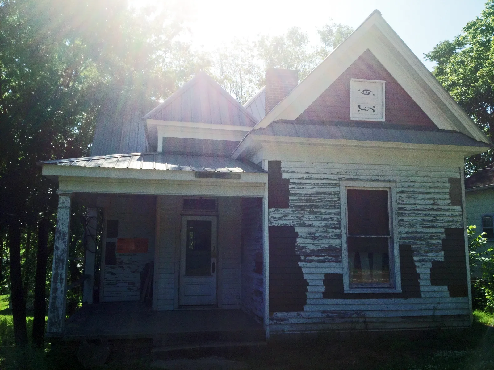
St. Elmo sits at the northern foot of Lookout Mountain, about 4 miles south of downtown, where the Lookout Mountain Incline Railway starts its climb. The city’s neighborhood map draws it at about 1.6 square miles, home to about 2,550 people in the 2020 census, and nearly all of it is a historic district.
What this means for you
- Zoned high school: Lookout Valley Middle/High for about 73% of residents (graded C for 2024-25); The Howard School for the rest.
- Home value: $383,793 in ZIP code 37409 in September 2026, according to the Zillow Home Value Index.
- Nearest interstate exit: I-24 exit 178A, about 2.8 miles by road from St. Elmo Park.
Part of our Chattanooga neighborhoods guide.
Where it is
This guide follows the St. Elmo boundary on the City of Chattanooga’s neighborhood association map. St. Elmo Avenue and Tennessee Avenue run north to south through it, Ochs Highway climbs Lookout Mountain from its south end, and Broad Street and Cummings Highway pass its northwest corner. Nearly all of it is in ZIP code 37409.
Plan Chattanooga, which the City Council adopted on Sept. 22, 2026, places St. Elmo in Area 4, South Chattanooga, which “extends from south of downtown to the Georgia state line” and includes St. Elmo, Alton Park and East Lake. The plan’s history says St. Elmo was incorporated in 1905, annexed into the City of Chattanooga in 1929 and recognized as a local historic district in 1992. The Incline Railway, which the plan calls “the world’s steepest passenger railway,” opened in 1895.
On the city’s historic district map, the local St. Elmo district covers most of the neighborhood, and the National Park Service has listed the St. Elmo Historic District on the National Register since 1982. The plan describes the local district as “subject to design guidelines and historic review”; see our building permits and zoning guide. The plan notes that St. Elmo’s commercial village center is outside the local district and recommends reusing its older buildings.
Schools
From the Hamilton County Schools 2026-27 attendance zones, weighted by 2020 census population. Grades are each school’s overall grade on Tennessee’s 2024-25 letter-grade report card:
| Level | School | Address | 2024-25 grade | Where it is zoned |
|---|---|---|---|---|
| Elementary | Calvin Donaldson Environmental Science Academy | 927 W. 37th St. | F | All |
| Middle | Lookout Valley Middle/High | 350 Lookout High St. | C | About 73% |
| Middle | East Lake Academy of Fine Arts | 2700 E. 34th St. | F | About 24% |
| High | Lookout Valley Middle/High | 350 Lookout High St. | C | About 73% |
| High | The Howard School | 2500 S. Market St. | D | About 27% |
A few blocks are zoned for Orchard Knob Middle. Check an address in the district’s School Zone Finder. More in our schools guide.
Home values
The typical home value in ZIP code 37409 was $383,793 in September 2026, down 1.8% from $390,976 in September 2025, according to the Zillow Home Value Index. The index is a modeled typical value for the middle third of homes, not a sale price, and 37409 reaches beyond St. Elmo. The City of Chattanooga figure was $314,999, down 1.3%. More in our home prices guide.
Parks and trails
From the City of Chattanooga’s parks map layer:
- St. Elmo Park, 4909 St. Elmo Ave.
- Church Street Park, 3813 Church St.
- Roy Nelms Park, 1609 W. 41st St.
The Tennessee Riverwalk reaches St. Elmo from Wheland Foundry, joined by the Virginia Avenue Greenway. On the mountainside, the city’s trail layer maps the Guild Trail, Shingle Trail and Whiteside Trail of Chickamauga and Chattanooga National Military Park and the National Park Service’s Glen Falls Trail. More in our walking and biking trails guide.
Getting around
- Interstate: I-24 exit 178A is about 2.8 miles by road from St. Elmo Park and exit 178B (U.S. 27 north to downtown) about 3.4 miles.
- Downtown: about 3.9 miles by road to Miller Park.
- Airport: about 12 miles by road to Chattanooga Metropolitan Airport (CHA).
- Bus: CARTA Route 15 St. Elmo/Incline has 37 stops in the neighborhood and Route 1 Alton Park nine, in CARTA’s current schedule data.
Distances are measured on the OpenStreetMap road network with the OSRM routing engine, from St. Elmo Park; exit distances run to the end of the off-ramp. They are distances, not drive times.
Neighborhood groups
The city’s registry lists the Community Association of Historic St. Elmo (website), which holds public meetings at 7 p.m. on the first Monday of each month at 4501 St. Elmo Ave. St. Elmo is in City Council District 7. It is a voluntary group, not a homeowners association with dues on the deed.
Groceries and everyday stores
From OpenStreetMap, on Broad Street at the neighborhood’s northwest edge:
- Publix, 3535 Broad St.
- Walgreens, 3550 Broad St.
How we drew this area
The area is the City of Chattanooga’s “St. Elmo” neighborhood association boundary. School zones and ZIP codes come from 2020 census block points inside it, checked Oct. 18, 2026. Store and road data are © OpenStreetMap contributors.
Frequently asked questions
What high school is St. Elmo in Chattanooga zoned for?
About 73% of St. Elmo residents are zoned for Lookout Valley Middle/High School, graded C on Tennessee’s 2024-25 report card, and the rest for The Howard School, graded D, according to Hamilton County Schools’ 2026-27 zone map.
Is St. Elmo a historic district?
Yes. The city recognized St. Elmo as a local historic district in 1992, according to Plan Chattanooga, which makes it subject to design guidelines and historic review. The St. Elmo Historic District has also been on the National Register of Historic Places since 1982.
What ZIP code is St. Elmo, Chattanooga?
- Zillow’s typical home value for 37409 was $383,793 in September 2026, down 1.8% from a year earlier.
Is St. Elmo a good place to live?
Here are the facts. St. Elmo is a 1.6-square-mile historic neighborhood at the foot of Lookout Mountain with three city parks and the Tennessee Riverwalk, zoned mostly for Lookout Valley Middle/High (graded C for 2024-25); the typical home value in ZIP 37409 was $383,793 in September 2026, according to Zillow.
Have your say