Chattanooga's walking and biking trails: the paved Riverwalk, South Chickamauga Creek Greenway, Stringers Ridge and more, with distances and free trailheads.
Last checked Oct. 18, 2026. Distances, trailheads and rules come from the City of Chattanooga’s greenways and trails pages and park pages, run by Parks and Outdoors.
Chattanooga has more than 35 miles of city trails, from the flat, paved Tennessee Riverwalk along the river to the wooded singletrack of Stringers Ridge above the North Shore. The greenways are open to walkers, runners, cyclists and skaters, and dogs on a leash are welcome. Trail problems or questions: Parks and Outdoors, 423-643-7866, or 311.
What this means for you
- Easy and paved: the Riverwalk and South Chickamauga Creek Greenway.
- Hilly and wooded: Stringers Ridge (7 miles) and the North Chickamauga Greenway.
- Closed section: 1.5 miles of the South Chickamauga Creek Greenway, Camp Jordan to Brainerd Road, until summer 2027.
- Rules: pedestrians have the right of way; bikers call out when passing; slower traffic keeps right.
At a glance
| Trail | Length | Surface | Difficulty | Main parking |
|---|---|---|---|---|
| Tennessee Riverwalk | 13 miles | Paved | Easy | Ten trailheads; 4301 Amnicola Highway |
| South Chickamauga Creek Greenway | About 12 to 13 miles | Paved, boardwalk; some gravel | Easy | Eight trailheads, all free |
| Stringers Ridge | 7 miles | Natural singletrack | Moderate | 1312 Spears Ave. |
| North Chickamauga Greenway | 2 miles plus branches | Asphalt, crushed rock, dirt | Moderate | Greenway Farm lots |
| Walnut Street Bridge | 2,376 feet | Deck | Easy | Downtown and North Shore |
Tennessee Riverwalk
The Tennessee Riverpark, known as the Riverwalk, is a paved urban greenway that links downtown to Chickamauga Dam, 8 miles east, and the historic St. Elmo neighborhood, 4 miles south, past Ross’s Landing, the Tennessee Aquarium and the Bluff View Art District. The city’s park page puts it at 13 miles; its trail page, counting boardwalks and bridges, says about 16.
Trailheads, from east to west:
- Chickamauga Dam, Amnicola Highway (the best fishing piers are here and at the Hubert Fry Center)
- Amnicola Marsh, 2628 Riverport Road
- Curtain Pole Road, 2011 Curtain Pole Road
- Rowing Center, 1459 Riverside Drive
- Battery Place, 127 Tennessee Riverwalk
- Bluff View Art District, 411 E. Second St.
- Ross’s Landing, 384 Riverfront Parkway
- Blue Goose Hollow, 935 Riverfront Parkway
- Chestnut Street, 3900 Chestnut St.
- Wheland Foundry, 1503 Middle St.
Bike share: Bike Chattanooga stations sit at the Hubert Fry Center, the Curtain Pole Road trailhead, 100 Walnut St., Coolidge Park, Renaissance Park, Blue Goose Hollow and the Wheland Foundry trailhead, among others. Paddlers can reach the Tennessee River Blueway from several access points.
South Chickamauga Creek Greenway
A paved trail and boardwalk that follows South Chickamauga Creek through East Chattanooga, from the Tennessee River to Camp Jordan in East Ridge, through oak-hickory forest, marsh and farmland. All sections were finished in 2022. It meets the Riverwalk at Riverpoint, off Lost Mound Drive.
- Trailheads (free parking): Camp Jordan, 323 Camp Jordan Parkway, East Ridge; Brainerd Road at Greenway View Drive; Shallowford Road and Brainerd Levee, 4026 Shallowford Road; Youngstown, 3710 Youngstown Road; Faith Road, 3650 Faith Road; Sterchi Farm, 3000 Harrison Pike; Hawthorne, 3945 N. Hawthorne St.; Lost Mound, at the Amnicola trailhead, 3716 Amnicola Highway.
- Canoe and kayak launches: Riverpoint, Sterchi Farm Park, Camp Jordan and Shallowford Road.
- Closure: about 1.5 miles between the Camp Jordan access and the Brainerd Road trailhead are closed until summer 2027 for stormwater storage and an equalization station, part of the city’s long-term wastewater work. The other 11 miles stay open.
- On the water: the city has restricted recreation in South Chickamauga Creek itself while it finishes sewer overflow repairs; see our parks and trails guide.
Stringers Ridge
A 92-acre urban wilderness in North Chattanooga with 7 miles of multi-use singletrack, rolling with some short steep pitches; a few spur trails are foot traffic only. An overlook near the top looks out over the city. Open sunrise to sunset.
- Main trailhead: 1312 Spears Ave., with ample parking, restrooms, a bike repair station and a pump track.
- Other access: 787 W. Bell Ave., 20 Mason Drive, 900 High Ridge Drive and 605 Nye Circle (limited parking).
- Direction rules:
| Day | Hikers | Bikers |
|---|---|---|
| Sunday, Tuesday, Thursday | Clockwise | Counterclockwise |
| Monday, Wednesday, Friday, Saturday | Counterclockwise | Clockwise |
Bikers yield to hikers; sightlines are short.
North Chickamauga Greenway and Greenway Farm
Across the river in Hixson, this linear park wraps around Greenway Farm, 4960 Gann Store Road, with two miles of hiking and biking trail on asphalt or crushed rock, mowed and dirt branch trails, three canoe access points, a pavilion and restrooms. Greenway Farm itself has 6 miles of trails and an off-leash dog park. The Boy Scout Trail in TVA’s Big Ridge Small Wild Area is a steep 1.25-mile loop, foot traffic only, through habitat for the federally threatened large-flowered skullcap. Hours: sunrise to sunset.
Short walks downtown
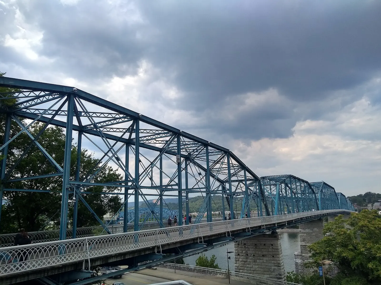
- Walnut Street Bridge: one of the world’s longest pedestrian bridges, 2,376 feet, built in 1890 and reopened as a linear park in 1993.
- Renaissance Park, 100 Manufacturers Road: 23 acres of wetlands, nature trails and public art beside Coolidge Park.
- Montague Park Sculpture Fields, 1800 Polk St.: 45 acres with a walking path among sculptures from around the world.
Related: parks and trails, dog-friendly Chattanooga, free things to do and getting around.
Frequently asked questions
How long is the Chattanooga Riverwalk?
The city’s park page calls the Tennessee Riverpark a 13-mile paved greenway from downtown to Chickamauga Dam, 8 miles east, and to St. Elmo, 4 miles south. At Riverpoint it joins the South Chickamauga Creek Greenway, which runs on to Camp Jordan.
Where do I park for the Riverwalk?
The city lists trailheads at Chickamauga Dam, Amnicola Marsh, Curtain Pole Road, the Rowing Center on Riverside Drive, Battery Place, Bluff View, Ross’s Landing, Blue Goose Hollow, Chestnut Street and Wheland Foundry on Middle Street.
Which direction do I walk at Stringers Ridge?
Hikers go clockwise on Sunday, Tuesday and Thursday and counterclockwise on Monday, Wednesday, Friday and Saturday. Bikers go the opposite way. The main trailhead, with parking and restrooms, is 1312 Spears Ave.
Is the South Chickamauga Creek Greenway open?
Mostly. About 1.5 miles between the Camp Jordan access and the Brainerd Road trailhead at Greenway View Drive are closed for wastewater construction until summer 2027; the other 11 miles from Brainerd to the Tennessee River stay open.
Are dogs allowed on Chattanooga greenways?
Yes, on a leash. The city lists the Riverwalk, the South and North Chickamauga greenways and Stringers Ridge as pet friendly.
Have your say