Highland Park is zoned for Orchard Knob Middle and The Howard School. Zillow put ZIP 37404 at $252,767 in September 2026, down 1.2% in a year.
Last checked Oct. 18, 2026. Sources: the City of Chattanooga’s GIS map layers (neighborhood association boundaries and registry, ZIP codes, parks); Plan Chattanooga, the city’s comprehensive plan; Hamilton County Schools’ 2026-27 school zones map; the federal NCES school directory; the Tennessee Department of Education’s 2024-25 letter grades; Zillow Research; CARTA’s published schedule data; and OpenStreetMap.
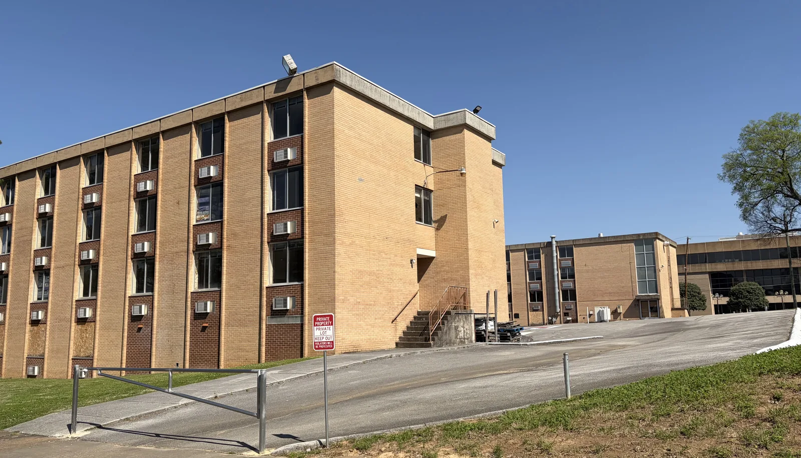
Highland Park is a neighborhood of early 20th century streets about 2 miles east of downtown, between McCallie Avenue and East Main Street. The city’s neighborhood map draws it at about half a square mile, where about 2,300 people lived in the 2020 census. It is home to the former Tennessee Temple University campus.
What this means for you
- Zoned high school: The Howard School for the whole neighborhood (graded D for 2024-25).
- Home value: $252,767 in ZIP code 37404 in September 2026, according to the Zillow Home Value Index.
- Nearest interstate exit: I-24 exit 180, about 1.6 miles by road from Tatum Park.
Part of our Chattanooga neighborhoods guide.
Where it is
This guide follows the Highland Park boundary on the City of Chattanooga’s neighborhood association map. McCallie Avenue and Bailey Avenue cross it east to west, with South Holtzclaw Avenue and South Willow Street running north to south and East Main Street on the south side. All of it is in ZIP code 37404.
Plan Chattanooga, which the City Council adopted on Sept. 22, 2026, places Highland Park in Area 3, Historic River-to-Ridge, which it describes as “a collection of 17 diverse urban neighborhoods” between Missionary Ridge and the Tennessee River that “were Chattanooga’s first street car neighborhoods.” The plan says Ferger Place, Highland Park and Glenwood “were surveyed, platted, and in place by the 1920s.” It lists Lucy Quarter in Highland Park among the area’s redevelopment projects and proposes a Highland Park mobility hub to connect residents and hospital workers with transit. The new plan replaces the older Highland Park/Tennessee Temple University Master Plan from 2000.
Schools
From the Hamilton County Schools 2026-27 attendance zones, weighted by 2020 census population. Grades are each school’s overall grade on Tennessee’s 2024-25 letter-grade report card:
| Level | School | Address | 2024-25 grade | Where it is zoned |
|---|---|---|---|---|
| Elementary | Orchard Knob Elementary | 2000 E. Third St. | C | About 60%, the north |
| Elementary | East Side Elementary | 1603 S. Lyerly St. | B | About 40%, the south |
| Middle | Orchard Knob Middle | 500 N. Highland Park Ave. | F | All |
| High | The Howard School | 2500 S. Market St. | D | All |
Three public charter schools in the Hamilton County Schools system sit inside the neighborhood, according to the NCES directory. They take students by application, not by zone:
- Chattanooga Girls Leadership Academy, 1802 Bailey Ave., grades 6 to 12, graded B.
- Chattanooga Preparatory School, 1815 Union Ave., graded D.
- Montessori Elementary at Highland Park, 700 S. Hawthorne St., graded D.
Check an address in the district’s School Zone Finder. More in our schools guide.
Home values
The typical home value in ZIP code 37404 was $252,767 in September 2026, down 1.2% from $255,961 in September 2025, according to the Zillow Home Value Index. The index is a modeled typical value for the middle third of homes, not a sale price, and 37404 covers a wider area than Highland Park. The City of Chattanooga figure was $314,999, down 1.3%. More in our home prices guide.
Parks and trails
The city’s parks map shows one park inside the neighborhood, Tatum Park, 1609 Union Ave. The city’s trail layer maps no trail inside the boundary. More in our parks and trails guide.
Getting around
- Interstate: I-24 exit 180 is about 1.6 miles by road from Tatum Park and exit 181 about 1.8 miles.
- Downtown: about 1.9 miles by road to Miller Park.
- Airport: about 6.6 miles by road to Chattanooga Metropolitan Airport (CHA).
- Bus: three CARTA routes stop inside the neighborhood in CARTA’s current schedule data: Route 10 Avondale/Glenwood with 11 stops, and Route 4 Eastgate/Hamilton Place and Route 9 East Lake with seven each.
Distances are measured on the OpenStreetMap road network with the OSRM routing engine, from Tatum Park; exit distances run to the end of the off-ramp. They are distances, not drive times. More in our getting around guide.
Neighborhood groups
The city’s neighborhood association registry lists the Highland Park Neighborhood Association (website), which holds its general meeting at 7 p.m. on the third Thursday of the month. The neighborhood is in City Council District 9. It is a voluntary group, not a homeowners association with dues on the deed.
Groceries and everyday stores
OpenStreetMap shows no supermarket inside the neighborhood. The nearest it maps is Food City, 1307 Broad St., about 1.5 miles west; Supermercado, 3515 Rossville Blvd., is about 1.8 miles south.
How we drew this area
The area is the City of Chattanooga’s “Highland Park” neighborhood association boundary. School zones and ZIP codes come from 2020 census block points inside it, checked Oct. 18, 2026. Store and road data are © OpenStreetMap contributors.
Frequently asked questions
What high school is Highland Park in Chattanooga zoned for?
The Howard School, 2500 S. Market St., for the whole neighborhood, with Orchard Knob Middle for grades 6 to 8, according to Hamilton County Schools’ 2026-27 zone map. Howard was graded D on Tennessee’s 2024-25 report card.
What elementary school serves Highland Park?
It depends on the street. Orchard Knob Elementary covers about 60% of residents and East Side Elementary the rest. Three public charter schools, which take students by application, are also in the neighborhood.
What ZIP code is Highland Park, Chattanooga?
- Zillow’s typical home value for 37404 was $252,767 in September 2026, down 1.2% from a year earlier.
Is Highland Park a good place to live?
Here are the facts. Highland Park is a half-square-mile neighborhood about 2 miles by road from downtown, served by three CARTA routes and zoned for The Howard School (graded D for 2024-25); the typical home value in ZIP 37404 was $252,767 in September 2026, according to Zillow.
Have your say