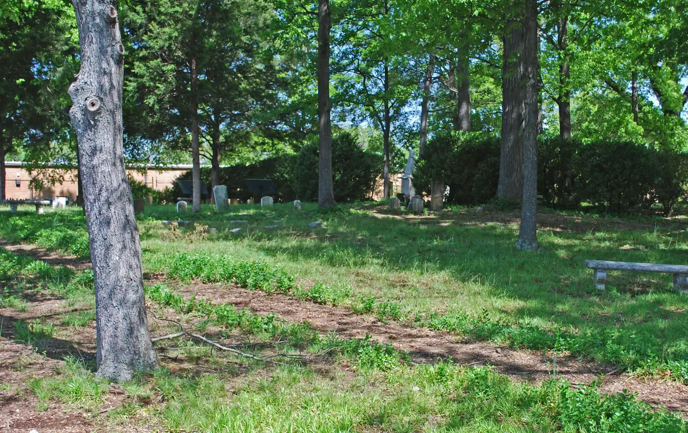
Brainerd is zoned mostly for Dalewood Middle and Brainerd High. Zillow put ZIP 37411 at $228,912 in September 2026, down 3.1% in a year.
Last checked Oct. 18, 2026. Sources: the Chattanooga-Hamilton County Regional Planning Agency’s planning-area map and Plan Chattanooga, the city’s comprehensive plan; the City of Chattanooga’s GIS map layers (city limits, neighborhood association registry, ZIP codes, parks, trails and historic districts); Hamilton County Schools’ 2026-27 school zones map; the Tennessee Department of Education’s 2024-25 letter grades; Zillow Research; CARTA’s published schedule data; and OpenStreetMap.
Brainerd is the large stretch of Chattanooga east of Missionary Ridge, built along Brainerd Road and named for the Brainerd Mission, founded on South Chickamauga Creek in 1817. This guide covers the city’s part of the planning area the city calls Brainerd / Midtown: about 17 square miles and 26,500 residents in the 2020 census, taking in Brainerd, Eastdale, Woodmore, Shepherd, Brainerd Hills, Eastgate Town Center and Chattanooga Metropolitan Airport.
What this means for you
- Zoned high school: Brainerd High for about 76% of residents (graded D for 2024-25).
- Home value: $228,912 in ZIP code 37411 in September 2026, according to the Zillow Home Value Index.
- Nearest interstate exit: I-24 exit 184 (Moore Road), about 2.3 miles by road from Brainerd Park.
Part of our Chattanooga neighborhoods guide.
Where it is
Plan Chattanooga, which the City Council adopted on Sept. 22, 2026, describes Area 6 as “about 25 square miles extending east of Missionary Ridge to Highway 153.” That figure includes the separate cities of East Ridge and Ridgeside; this guide uses only the part inside Chattanooga’s city limits, drawn from the Regional Planning Agency’s planning-area map.
Brainerd Road (U.S. 11 and U.S. 64) is the spine, with Shallowford Road, North Moore Road, Tunnel Boulevard, Wilcox Boulevard, Lee Highway and East Brainerd Road crossing it. The plan calls Brainerd Road “the primary commercial corridor in Brainerd area” and says it has had some of the city’s highest concentrations of crashes in which people were killed or seriously injured. It also traces the area’s growth to the 1928 Bachman Tubes and the 1960s I-24 ridge cut, and recounts how Eastgate Center, the area’s first shopping center in 1962, became Eastgate Town Center, now mostly office space.
About 63% of residents are in ZIP code 37411, 20% in 37421, 8% in 37406 and 7% in 37404. The National Park Service lists the Missionary Ridge Historic District along the ridgetop on the National Register.
Schools
From the Hamilton County Schools 2026-27 attendance zones, weighted by 2020 census population. Grades are each school’s overall grade on Tennessee’s 2024-25 letter-grade report card:
| Level | School | Address | 2024-25 grade | Where it is zoned |
|---|---|---|---|---|
| Elementary | Woodmore Elementary | 800 Woodmore Lane | D | About 28% |
| Elementary | East Ridge Elementary | 1014 John Ross Road | B | About 17% |
| Elementary | East Brainerd Elementary | 7453 E. Brainerd Road | D | About 14% |
| Elementary | Barger Academy of Fine Arts | 4808 Brainerd Road | C | About 12% |
| Elementary | Hardy Elementary | 2100 Glass St. | C | About 11% |
| Middle | Dalewood Middle | 1300 Shallowford Road | F | About 76% |
| Middle | Ooltewah Middle | 5100 Ooltewah-Ringgold Road | C | About 9% |
| High | Brainerd High | 1020 N. Moore Road | D | About 76% |
| High | Ooltewah High | 9232 Lee Highway | C | About 9% |
| High | Tyner Academy | 6836 Tyner Road | B | About 6% |
| High | East Hamilton High | 2015 Ooltewah-Ringgold Road | A | About 5% |
Bess T. Shepherd, Spring Creek and Harrison elementary schools each cover about 5% to 6%, and small edges are zoned for East Ridge Middle and High. With this many zones, check the exact address in the district’s School Zone Finder. More in our schools guide and Friday night football guide.
Home values
The typical home value in ZIP code 37411 was $228,912 in September 2026, down 3.1% from $236,295 in September 2025, according to the Zillow Home Value Index. In 37421, which covers the east side, it was $357,190, down 1.2%. The index is a modeled typical value for the middle third of homes, not a sale price, and both ZIP codes reach beyond Brainerd. The City of Chattanooga figure was $314,999, down 1.3%. More in our home prices guide.
Parks and trails
From the City of Chattanooga’s parks map layer:
- Brainerd Park, 1010 N. Moore Road.
- Eastdale Park, 1312 Moss Drive.
- Tacoa Park, 5205 Tacoa Circle.
- Benham Williams Park, 430 Williams Drive.
- Overlook Park, 1 S. Crest Road, on Missionary Ridge.
- Urban Art Garden, 11 N. Seminole Drive, and the Brainerd Hills Triangle.
- Brainerd Golf Course, 5203 Old Mission Road, and Brown Acres Golf Course, 406 Brown Road, both city courses.
The South Chickamauga Creek Greenway runs through the area from Shallowford Road past Brainerd Park and Brainerd Road toward Camp Jordan, and the National Park Service’s Sherman Reservation trail is on Missionary Ridge. More in our parks and trails guide.
Getting around
- Interstate: I-24 exit 184 (Moore Road) is about 2.3 miles by road from Brainerd Park; TN 153 exit 1 is about 4.5 miles.
- Downtown: about 8.1 miles by road to Miller Park.
- Airport: about 4.4 miles by road to the Chattanooga Metropolitan Airport (CHA) terminal.
- Bus: CARTA Route 4 Eastgate/Hamilton Place has 98 stops in the area in CARTA’s current schedule data, mostly along Brainerd Road.
Distances are measured on the OpenStreetMap road network with the OSRM routing engine, from Brainerd Park; exit distances run to the end of the off-ramp. They are distances, not drive times.
Neighborhood groups and HOAs
The city’s neighborhood association registry lists 28 groups whose boundaries are mostly inside this area, in City Council Districts 5, 6 and 9. Among them:
- Olde Town Brainerd Neighborhood Association, 6 p.m. on the third Thursday of each month.
- Missionary Ridge Neighborhood Association, 6 p.m. on the second Thursday of each month at the Old Missionary Ridge Fire Hall, 36 Sheridan Ave. (website).
- Brainerd Park Neighborhood Association, last Tuesday of each month (website).
- Brainerd Hills, Eastdale, Woodmore, Midtown and South Brainerd neighborhood associations, and the Shepherd Community Action Council.
Most are voluntary groups. One, the Hickory Trace Homeowners Association, is a homeowners association.
Groceries and everyday stores
From OpenStreetMap:
- Walmart Supercenter, 490 Greenway View Drive.
- ALDI, 5706 Lee Highway.
- Walgreens, 3605 Brainerd Road; CVS Pharmacy, 5501 Brainerd Road; and Brainerd Pharmacy, 3602 Brainerd Road.
How we drew this area
The area is the Regional Planning Agency’s Area 6 (Brainerd / East Ridge on its map, Brainerd / Midtown in Plan Chattanooga) clipped to the City of Chattanooga’s city limits. School zones and ZIP codes come from 2020 census block points inside it, checked Oct. 18, 2026. Store and road data are © OpenStreetMap contributors.
Frequently asked questions
What high school is Brainerd in Chattanooga zoned for?
About 76% of residents in the Brainerd area are zoned for Brainerd High School, 1020 N. Moore Road, graded D on Tennessee’s 2024-25 report card. Edges of the area are zoned for Ooltewah, Tyner, East Hamilton or East Ridge high schools.
What ZIP code is Brainerd, Chattanooga?
Mostly 37411, with the east side in 37421 and the north in 37406. Zillow’s typical home value for 37411 was $228,912 in September 2026, down 3.1% from a year earlier.
How far is Brainerd from the Chattanooga airport?
Chattanooga Metropolitan Airport is in the Brainerd area. From Brainerd Park it is about 4.4 miles by road to the terminal, measured on the OpenStreetMap road network.
Is Brainerd a good place to live?
Here are the facts. The Brainerd area covers about 17 square miles of the city east of Missionary Ridge with seven city parks and two city golf courses, zoned mostly for Brainerd High (graded D for 2024-25); the typical home value in ZIP 37411 was $228,912 in September 2026, according to Zillow.
Have your say